3D laser scanning equipment in action
Professional 3D Scanning Services

3D Laser Scanning Services in Denver

Capture accurate, detailed 3D data of any space or structure. From as-built documentation to renovation planning, we deliver the spatial intelligence your projects need.

Accuracy to ±2mm
Rapid data capture
Denver & Front Range
±2mm
Accuracy
24-48hr
Typical Turnaround
Pro-Grade
Equipment
100+
Projects Completed

What Is 3D Laser Scanning?

Understanding the technology behind precise spatial measurement

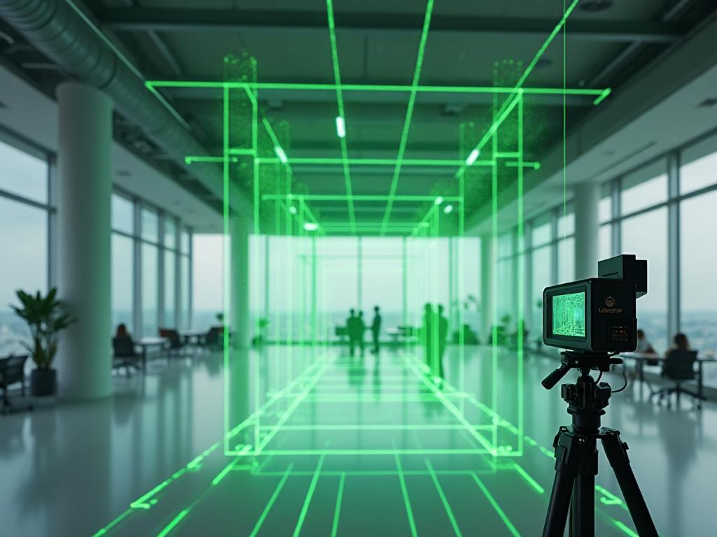
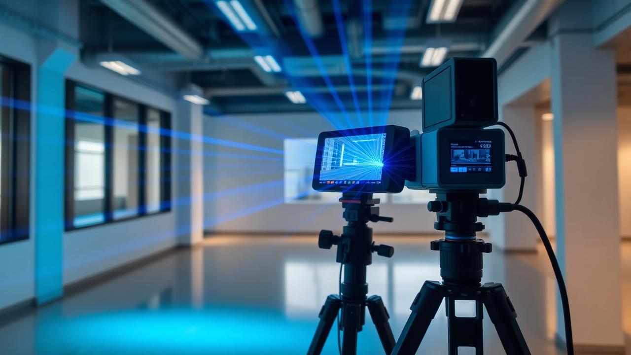
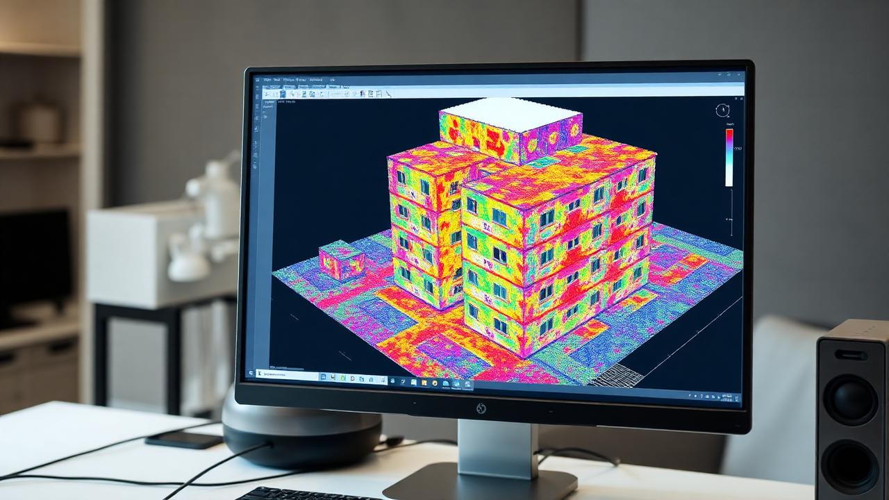
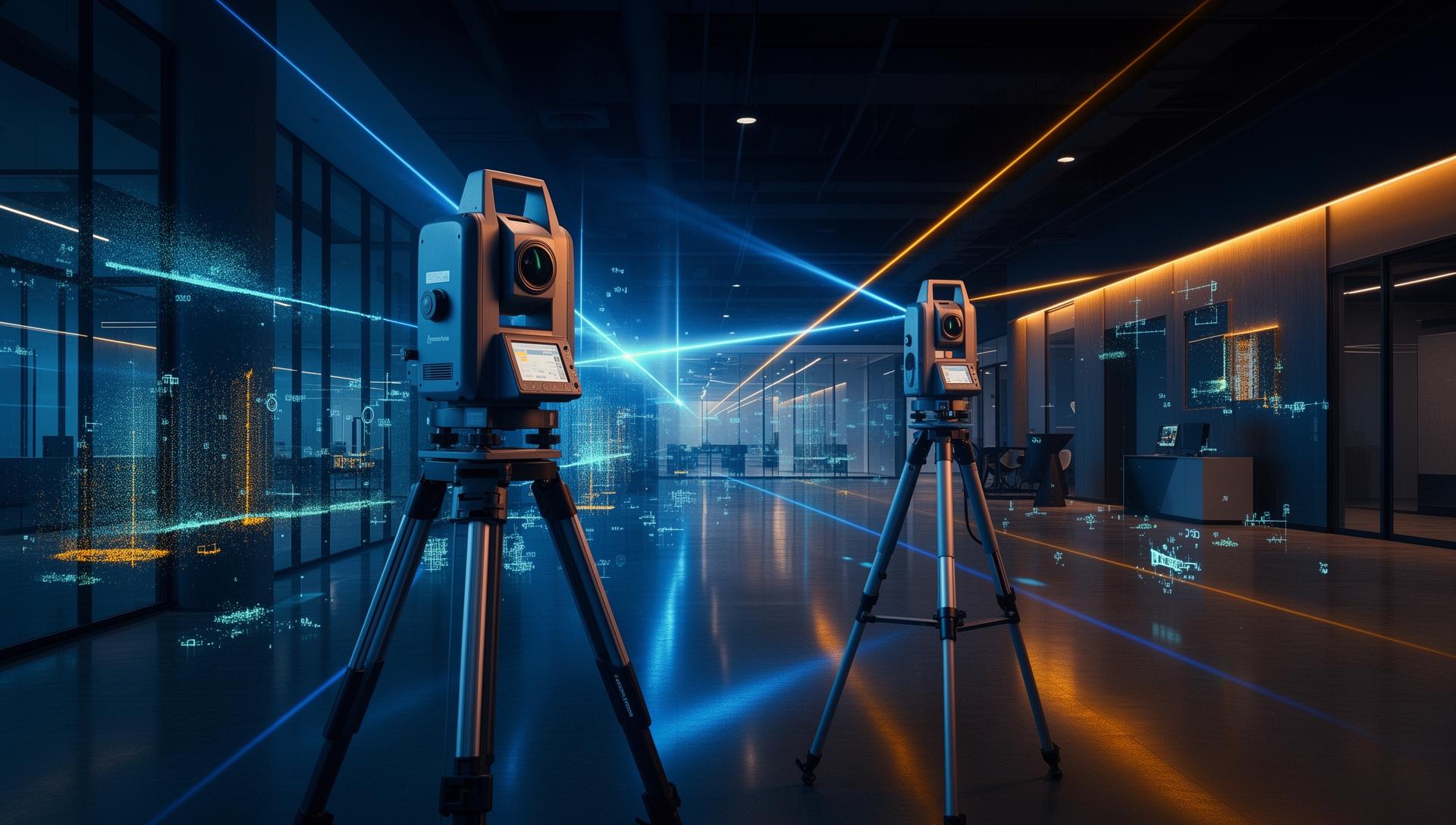
3D laser scanning is a non-contact technology that captures precise measurements of physical spaces and objects by emitting laser pulses and measuring their return time. This process creates what's called a point cloud—a dense collection of 3D coordinates (X, Y, Z data points) that represent the exact shapes, dimensions, and spatial relationships of everything within the scanned area.

The technology behind 3D laser scanning is often referred to as LiDAR (Light Detection and Ranging). During a scan, the device rotates 360 degrees while firing millions of laser pulses per second at surrounding surfaces. Each pulse measures the distance to the point where it hits, building up a comprehensive digital representation of the environment.

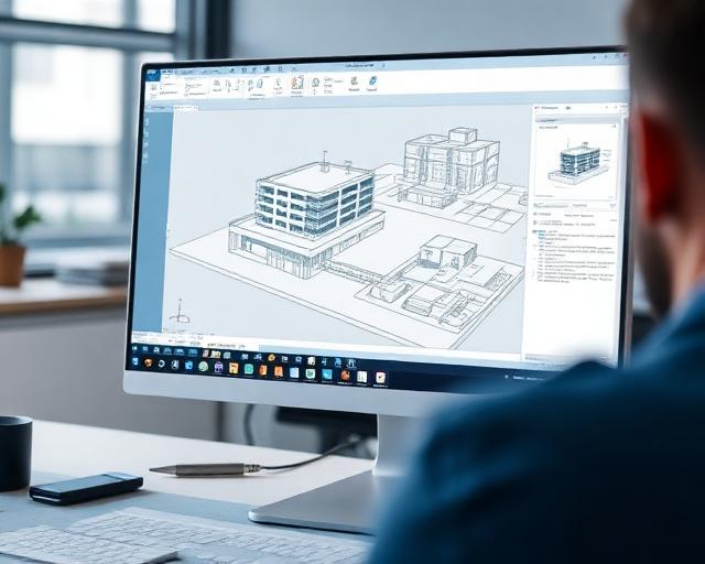
The result is a highly accurate digital model that can be used for as-built documentation, renovation planning, clash detection in construction projects, facility management, and many other applications where precise spatial data is essential. Unlike traditional measuring methods that capture individual dimensions, 3D laser scanning captures everything at once, providing a complete record of existing conditions.

Professional 3D laser scanner capturing point cloud data in a commercial office space, showing green laser beams mapping the environment
A 3D laser scanner captures millions of measurement points to create accurate spatial data

LiDAR Technology

Emits millions of laser pulses per second, measuring the distance to every surface

Point Cloud Creation

Generates dense 3D coordinate data (X, Y, Z) representing exact shapes and dimensions

Versatile Outputs

Produces CAD drawings, 3D models, and panoramic imagery for your workflow

Key Terms & Definitions

Point Cloud
A collection of millions of XYZ coordinates (data points) that represent the surfaces of a scanned environment. Each point has a precise 3D location and often includes color information from photos, creating a complete digital record of physical space.
LiDAR
Light Detection and Ranging — the technology behind 3D laser scanning. LiDAR systems emit laser pulses and measure their return time to calculate precise distances, enabling rapid capture of millions of measurements.
Registration
The process of aligning multiple scan positions into a single, unified coordinate system. Registration ensures that scans taken from different locations fit together accurately to create a complete model.
As-Built Documentation
Accurate documentation of existing conditions as they currently exist, rather than as originally designed. As-built drawings reflect reality and are essential for renovation, facility management, and design work.
Applications

Who Uses 3D Laser Scanning?

3D laser scanning serves a wide range of industries and project types. Here are some of the most common applications we support in the Denver area.

Construction

Pre-construction site surveys, progress monitoring, and as-built verification for new builds and renovations.

Architecture & Design

Capture existing conditions for renovation projects, historic preservation, and adaptive reuse planning.

Industrial & Manufacturing

Document facilities for equipment installation, process optimization, and maintenance planning.

Historic Preservation

Create detailed digital records of historic structures for documentation, restoration, and conservation efforts.

Real Estate & Property

Accurate floor plans and 3D models for property marketing, due diligence, and space planning.

MEP & Utilities

Document mechanical, electrical, and plumbing systems for coordination, retrofits, and clash detection.

How It Works

Our Scanning Process

From initial consultation to final delivery, we follow a proven process designed to capture accurate data efficiently and deliver exactly what your project needs.

01

Consultation

We discuss your project requirements, site conditions, and deliverable needs. This helps us plan the most efficient scanning approach and provide accurate pricing.

Project consultation meeting reviewing blueprints and scanning requirements with client
02

On-Site Scanning

Our technicians arrive with professional-grade scanning equipment. Depending on project scope, scanning typically takes a few hours to a full day.

Technician performing 3D laser scanning in a commercial building interior with scanning equipment visible
03

Data Processing

Raw scan data is registered, cleaned, and processed into unified point clouds. We apply quality control checks to ensure accuracy and completeness.

Point cloud data visualization showing detailed 3D spatial mapping of building interior
04

Deliverable Creation

Final deliverables are prepared in your required formats—point clouds, CAD files, or visualization outputs. We provide guidance on using the data in your workflows.

CAD software displaying 3D building model created from laser scan data for client deliverables

Why Choose Mile High 3D Scanning

We focus on delivering accurate data and transparent service for commercial and industrial clients

Professional-Grade Equipment

We use commercial LiDAR scanning equipment that delivers reliable accuracy for as-built documentation and project planning.

Experienced Operators

Our team understands the technical requirements of 3D laser scanning and how to capture the data you need for your specific application.

Clear Communication

We explain what we can deliver, what the process involves, and what you can expect—no surprises, no overpromises.

Flexible Deliverables

We provide point clouds in industry-standard formats (E57, RCS, etc.) and can produce 2D CAD drawings or 3D models based on your workflow needs.

Fast Turnaround

We understand project timelines matter. We work efficiently to deliver your data when you need it.

Important: Non-certified, informational deliverables only

Mile High 3D Scanning provides scanning and documentation services only. We do not:

  • Engineering analysis
  • Certified measurements
  • Regulatory compliance documents
  • Stamped drawings

Our deliverables are designed for planning, documentation, and design purposes. If your project requires certified or stamped documents, we can refer you to licensed professionals who can provide those services.

Denver downtown skyline with Rocky Mountains in background, showcasing the commercial and architectural landscape of the Front Range region
Denver Metro Area – Our primary service region

Serving Denver & the Metro Area

Mile High 3D Scanning is based in Denver, Colorado, and we serve clients throughout the Denver Metro area. Whether your project is in downtown Denver, the surrounding suburbs, or nearby communities along the Front Range, we provide professional 3D laser scanning services for commercial and industrial applications.

Our local presence means faster response times, flexible scheduling, and in-person consultations when needed. We understand the unique building stock and project requirements of the Colorado market.

Denver Metro Coverage

Serving downtown Denver, surrounding suburbs, and nearby communities throughout the Front Range

Fast Response Times

Local presence means flexible scheduling and quick turnaround on project quotes

On-Site Consultations

We meet with you in person to assess project requirements and answer questions

Denver, ColoradoMetro Denver & Front Range
FAQ

Frequently Asked Questions

Common questions about 3D laser scanning services, process, and deliverables.

Ready to Discuss Your Project?

Contact Mile High 3D Scanning to learn more about our services and receive a detailed quote for your 3D laser scanning needs.

Or call us at (720) 970-4849
Contact Us

Request a Quote

Tell us about your project and we'll provide a detailed quote. Most quotes are delivered within 1-2 business days.

(720) 970-4849
600 17th St UNIT 2800, Denver, CO 80202, USA

What Happens Next?

  • We review your project details
  • We may follow up with clarifying questions
  • You receive a detailed quote within 1-2 business days

Your Information

Project Details

Your information will only be used to respond to your inquiry. Privacy Policy